
Weekend Retreat
Far enough to feel like leaving. Close enough to make the drive on a Friday evening and still have the whole weekend in front of you.
Varchaswaa's
Where Nature Becomes Your Address.
Plots From 3,000 Sq. Ft. & Above
The Project
Varchaswaa's Lake & Hills is a plotted development set between a lake and a standing range of hills — a site defined by what surrounds it as much as by what is built on it.
The land has been laid out to keep that setting in view: generous plots, wide internal roads, and open ground held between them.
Leadership
Umesh Singh
Managing Director
Varchaswaa's Lake & Hills is held to a standard of integrity and excellence set from the top — from how the land was sourced to how each plot within it is laid out.
The Land
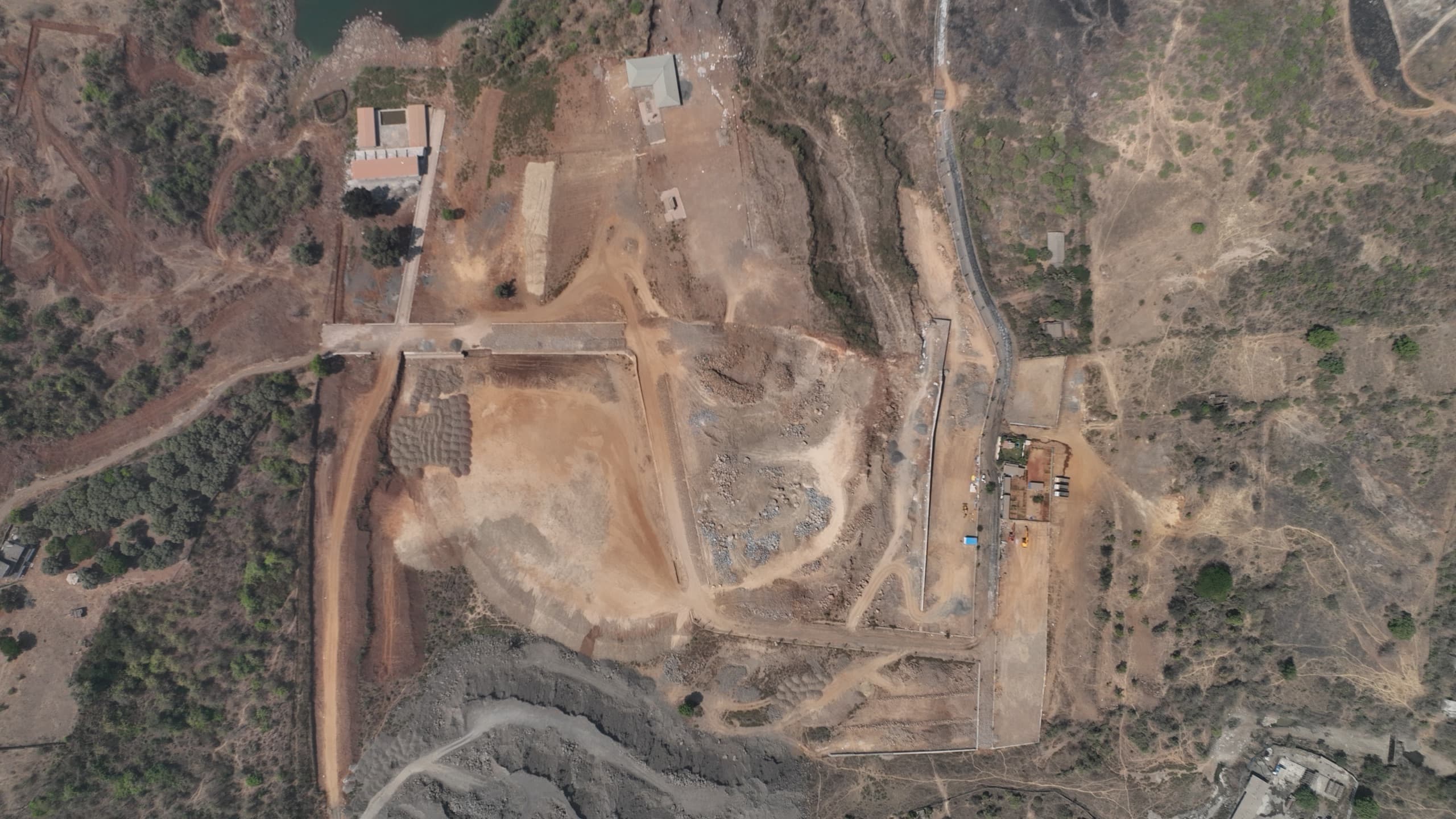
Photographed from the air, March 2026.
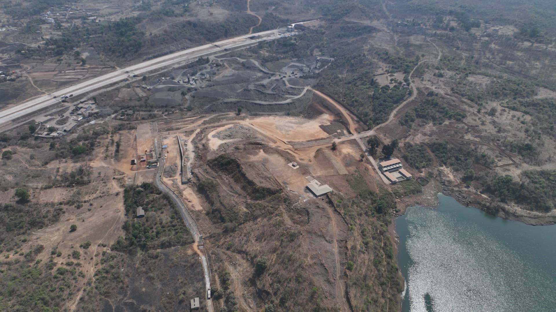
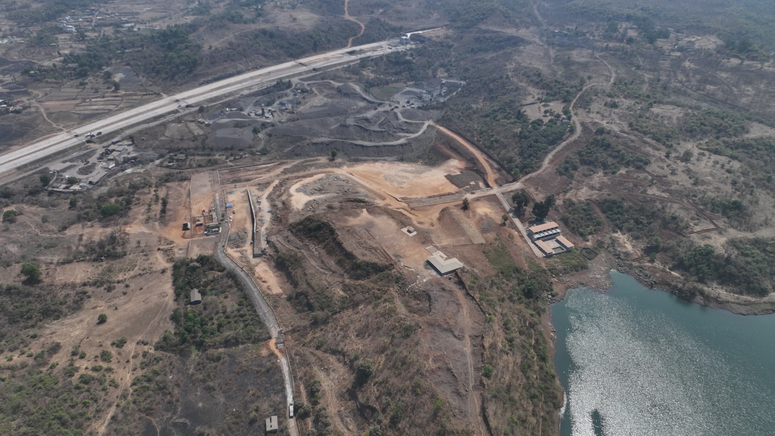
Photographed from the air in March 2026. Earthworks, internal road formation and boundary works are visible across the plateau, with the lake along the eastern edge.
No plot boundaries are drawn on this photograph. The surveyed layout will be overlaid here once the survey data is available.
Explore the Development
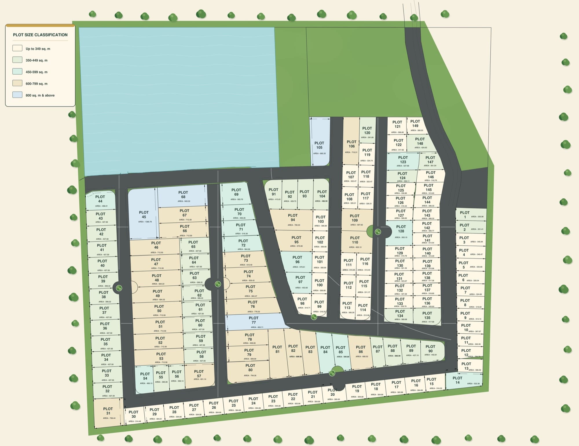
149 individually planned plots within the Lake & Hills landscape.
Lifestyle
Far enough to feel like leaving. Close enough to make the drive on a Friday evening and still have the whole weekend in front of you.
Plots from 3,000 sq.ft. and above — room for a house that answers to the site rather than to a floor plate. You decide what gets built, and when.
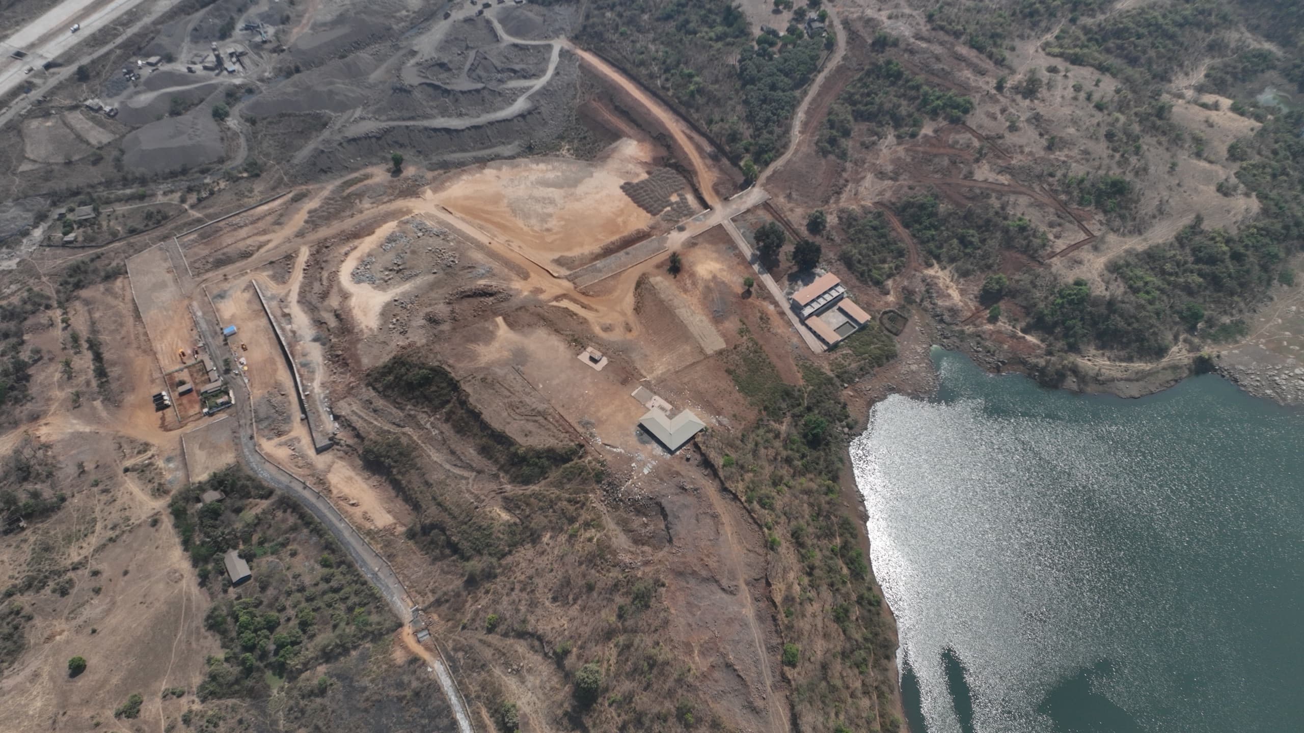
Water on one side, high ground on the other. The setting is the reason the land was laid out the way it was.
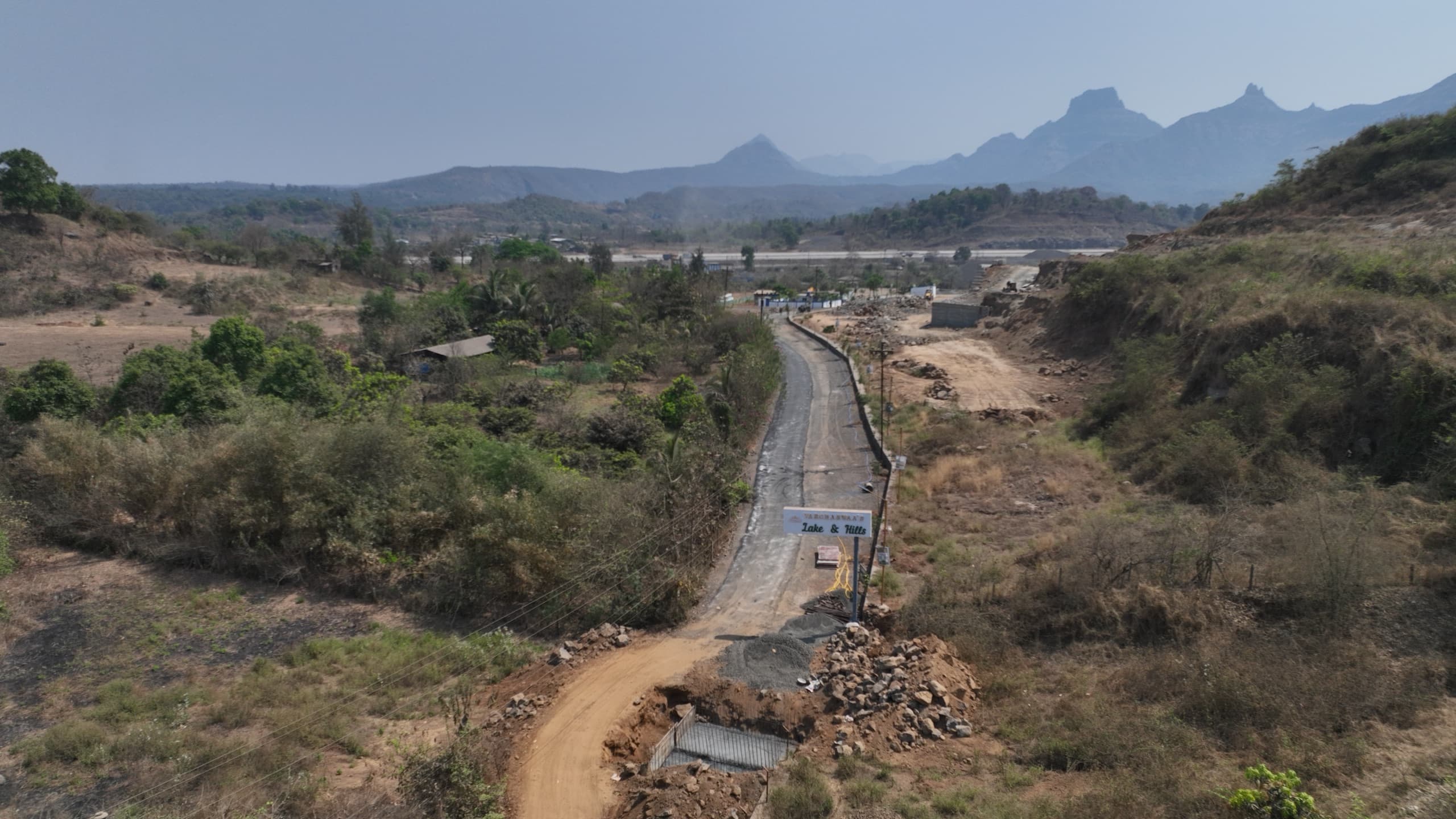
Land in a location that is still becoming what it will be. Hold it, build on it, or leave it as it is for now.
Infrastructure
Groundwork first. The status of every element is stated plainly below.
The internal road network is laid out at 50 feet, with formation work and edge kerbing visible across the site.
Power distribution planned across the layout, with poles and lines running along the approach road.
A shared club house is part of the planned layout. Not yet built.
Gated entry and round-the-clock security are planned for the completed development.
Location
The site sits within reach of the following. Distances and travel times are being verified and will be published once confirmed.
Distances, travel times and a location map will be published once verified.
Schematic · not to scale
Gallery
Every photograph below is unretouched aerial photography of the site, taken in March 2026.
Visit
Some places need to be experienced in person.
Or speak with us directly